The edge of the plateau
Immouzer Kandar sits where the road from Fes reaches the Middle Atlas plateau, at around 1,340 m, a clear change of air from the plain below.
Fes, Morocco· Concierge · Mon–Sat · 09:00–18:00 GMT+1
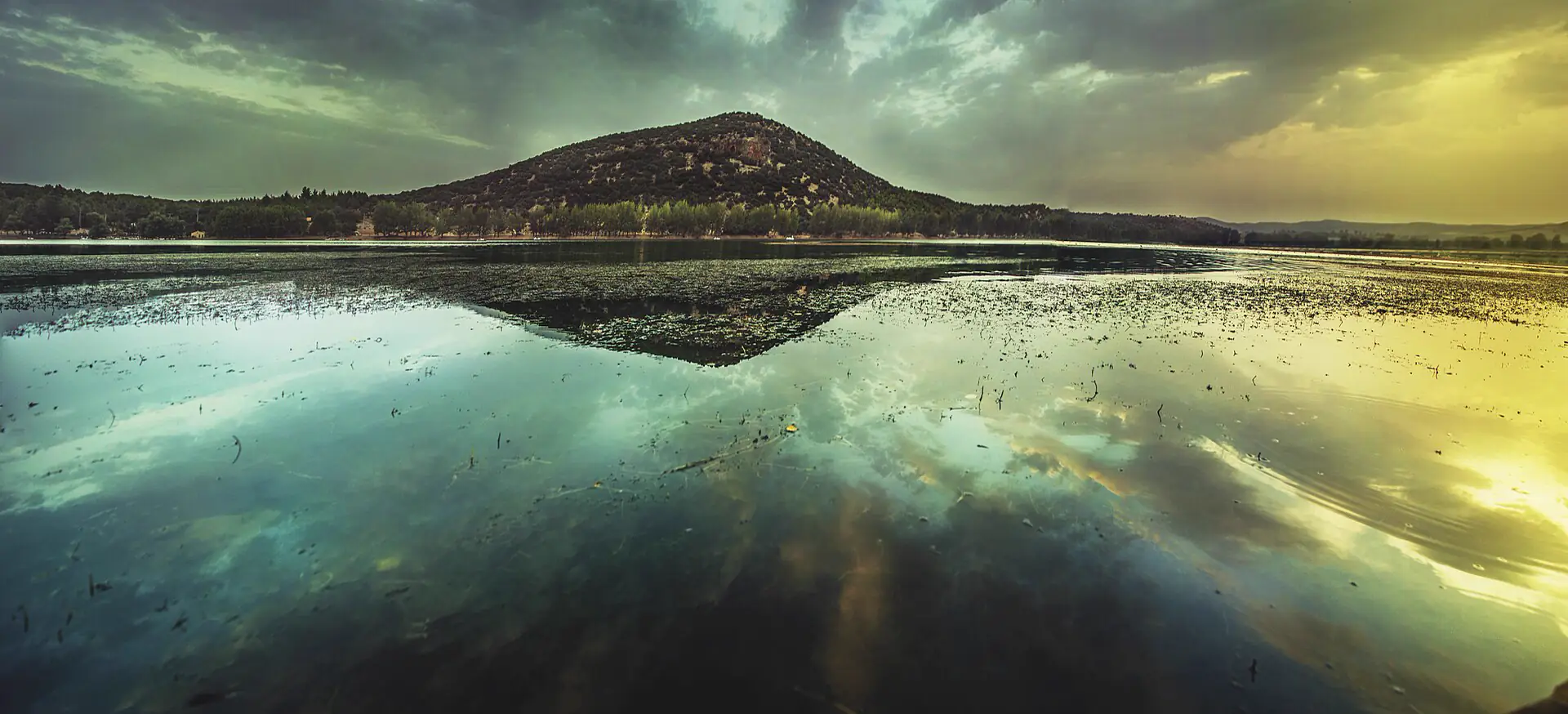
Dayet Aoua · Photo: EL KHALIL EL ARFAOUI, CC BY-SA 4.0
Immouzer Kandar is a town on the edge of the Middle Atlas plateau, about 45 minutes by car south of Fes from Bab Ftouh, at around 1,340 m. Home to the Ait Seghrouchen, it is where the Aïn Soltane mineral water is bottled, and it is the first step up to the lakes of the plateau and on to Ifrane.
Climb south out of Fes and Immouzer Kandar is where the land levels onto the Middle Atlas plateau, at around 1,340 m. The town, in Sefrou Province, had about 21,900 people at the 2024 census and is home to the Ait Seghrouchen. It is known in Morocco for its mineral water, low in sodium, bottled here under the name Aïn Soltane. For travellers it is the doorway to the plateau: the natural lakes, or dayets, lie between Immouzer and Ifrane, and the road carries on to Ifrane and the cedar forest near Azrou. Being higher than Fes, it is cooler in summer and can see snow in winter.
Out of the medina by Bab Ftouh, on the OpenStreetMap car route. Each town sits at its real distance along the road.
43 km
about 46 min at the wheel, without traffic or stops
من فاس، باب الفتوح إلى إيموزار كندر
Road distance and free-flow time from the OSM car router (OSRM), Bab Ftouh to Immouzer Kandar. A real day takes longer: traffic leaving Fes, a viewpoint, a slow lorry on the bends. We plan the day around it.
Immouzer Kandar sits where the road from Fes reaches the Middle Atlas plateau, at around 1,340 m, a clear change of air from the plain below.
Dayet Aoua and smaller lakes such as Dayet Ifrah lie on the plateau between Immouzer and Ifrane. They are rain-fed, so we check water levels before the day.
Immouzer Kandar is where the Aïn Soltane mineral water, low in sodium, is bottled.
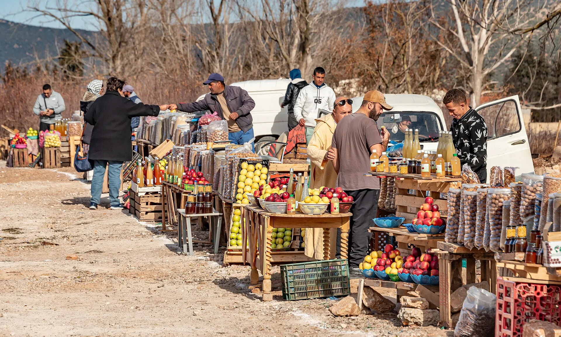
The first plateau town south of Fes, at 1,340 m, on the road to the Middle Atlas lakes and Ifrane.
Near Immouzer KandarEach one runs private or small-group and stops properly in Immouzer Kandar. Open one for the day-by-day plan, then ask us to quote it for your dates.
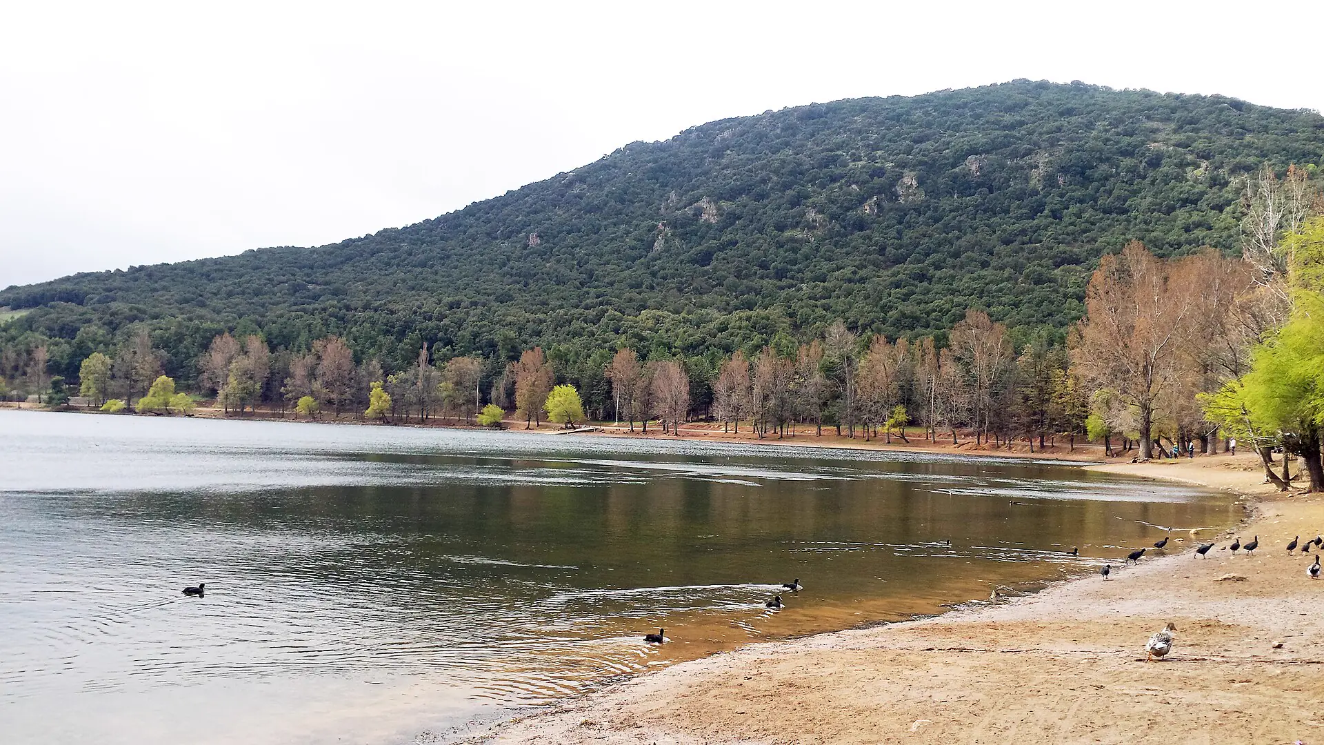 Immouzer Kandar and the Middle Atlas lakesOrchard country, a hill town above the Saiss plain, and the dayets: natural lakes on the limestone plateau between Immouzer and Ifrane.See the plan
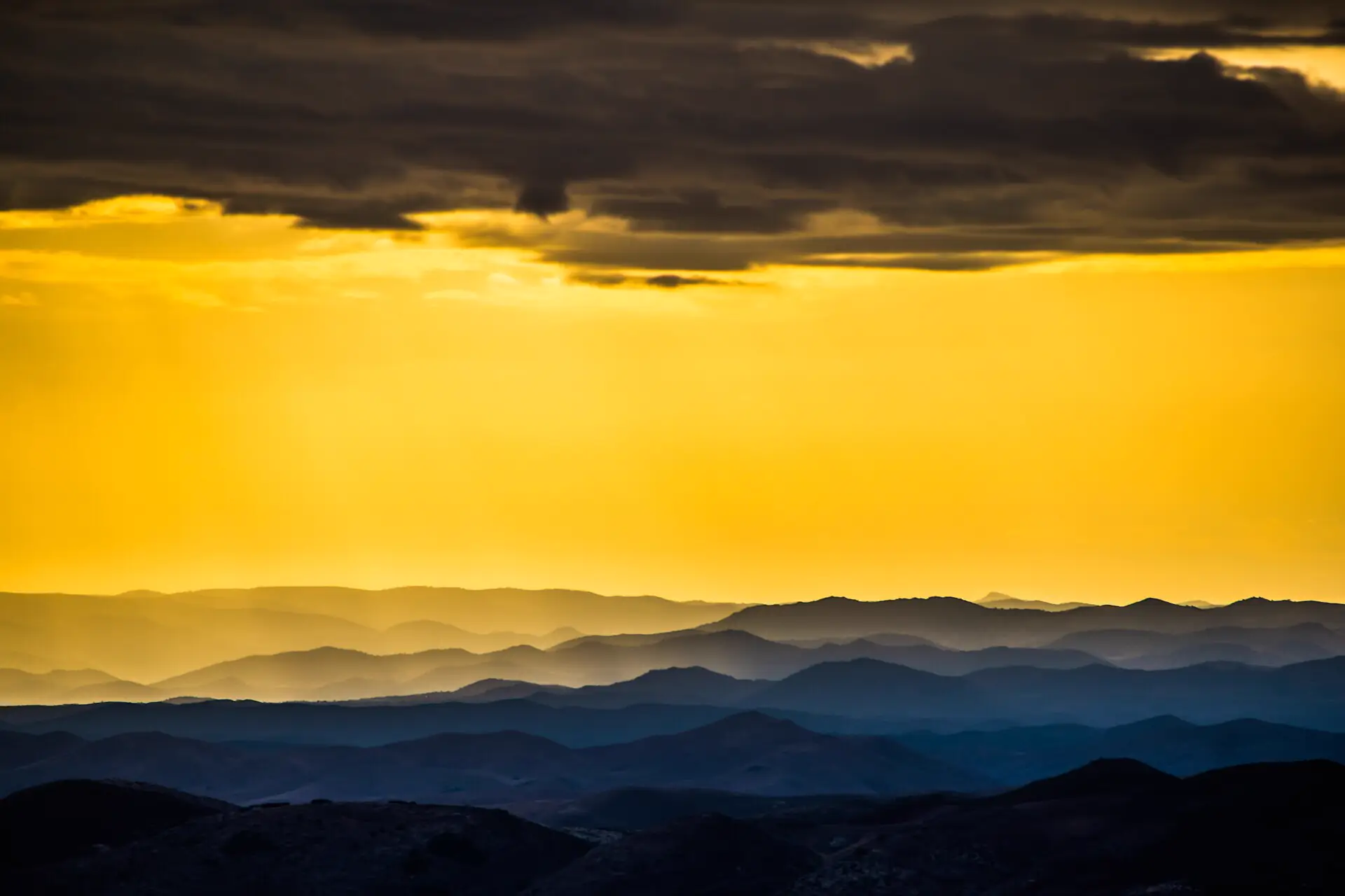 Middle Atlas two-day loopLakes, cedars, macaques and the springs of the Oum Er-Rbia river, with a night in the mountains. A loop from Fes and back.See the plan
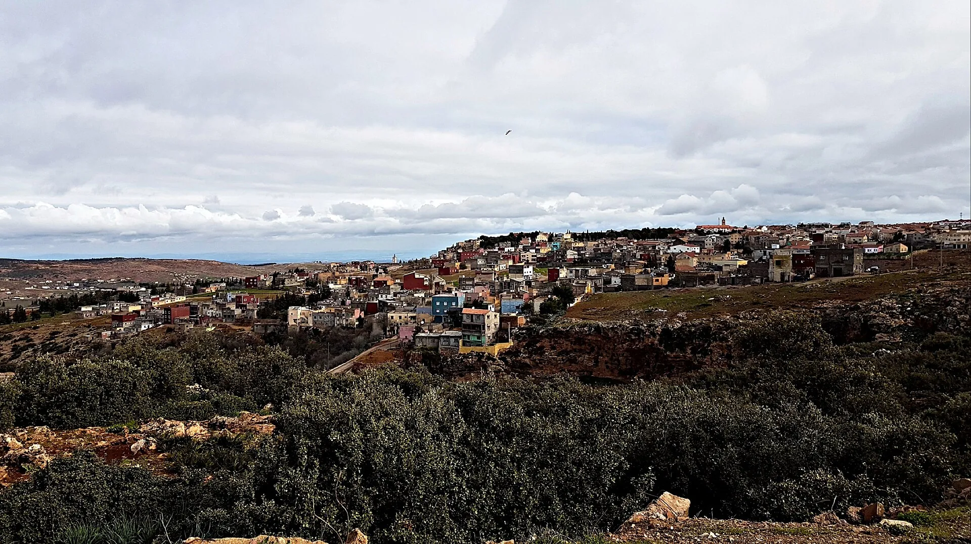 Fes-Meknes region three-day loopImperial Meknes, Roman Volubilis, a night in Moulay Idriss, Bhalil's cave houses, a night in the Middle Atlas and the cedars on the way home.See the plan
Getting there. Roughly 45 minutes by car south from Bab Ftouh on the OpenStreetMap car route
Altitude. Around 1,340 m; evenings are cool even in summer, so bring a layer
Pairs with. Dayet Aoua, Ifrane and the Azrou cedar forest
Read next. High Atlas Mountains Day Trip from Marrakech: Imlil, Ourika & What to Expect; Is Volubilis Worth Visiting, and How Do You Do a Meknes & Volubilis Day Trip from Fes?; Can You See Wild Monkeys Near Fes, and Is the Ifrane & Azrou Cedar Forest Day Trip Worth It?.
The places closest to Immouzer Kandar, easy to join on one private route.
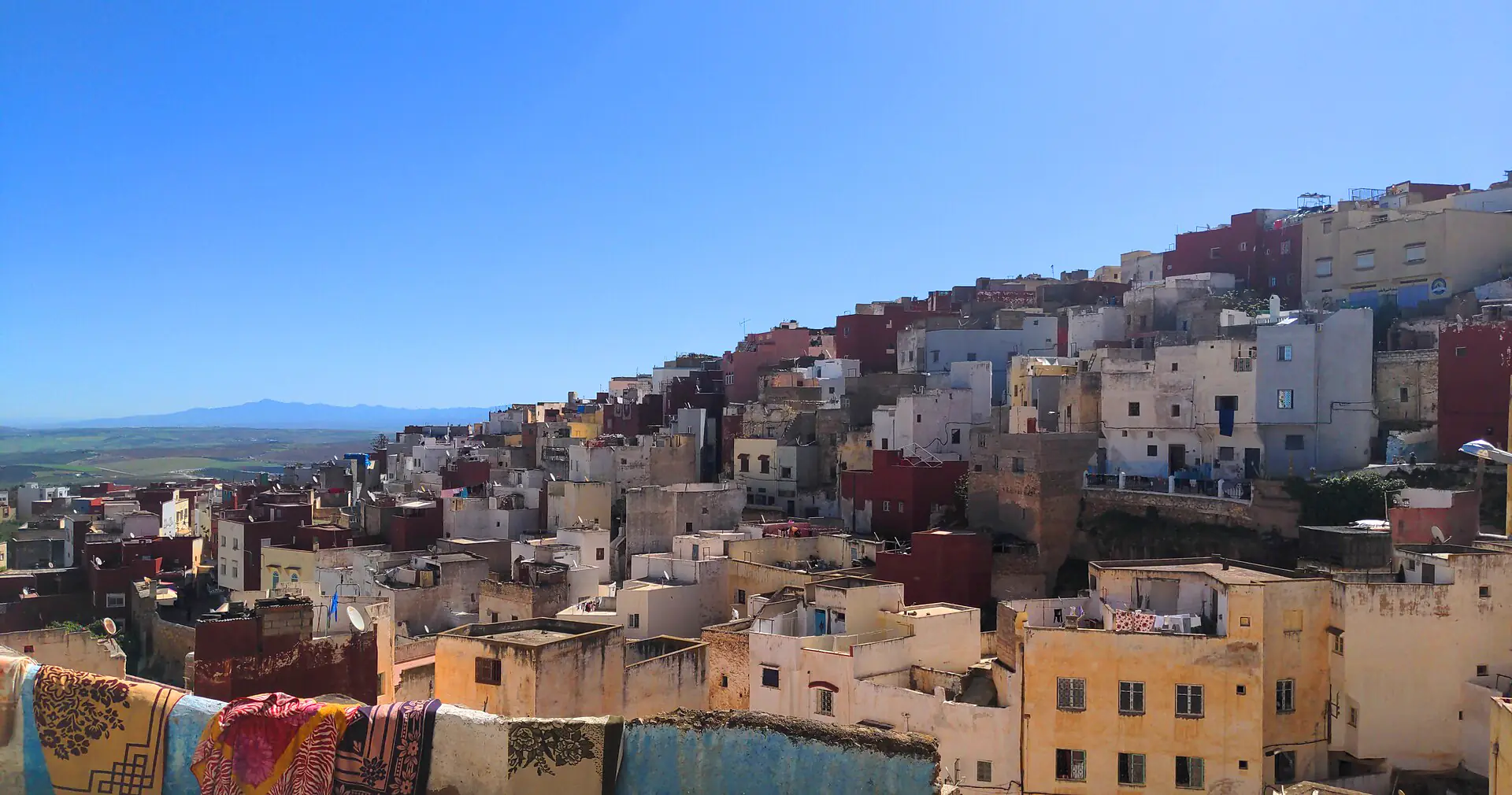 BhalilThe hillside town of cave houses and painted bridges, half an hour south of Fes, where women knot djellaba buttons in the lanes.See Bhalil
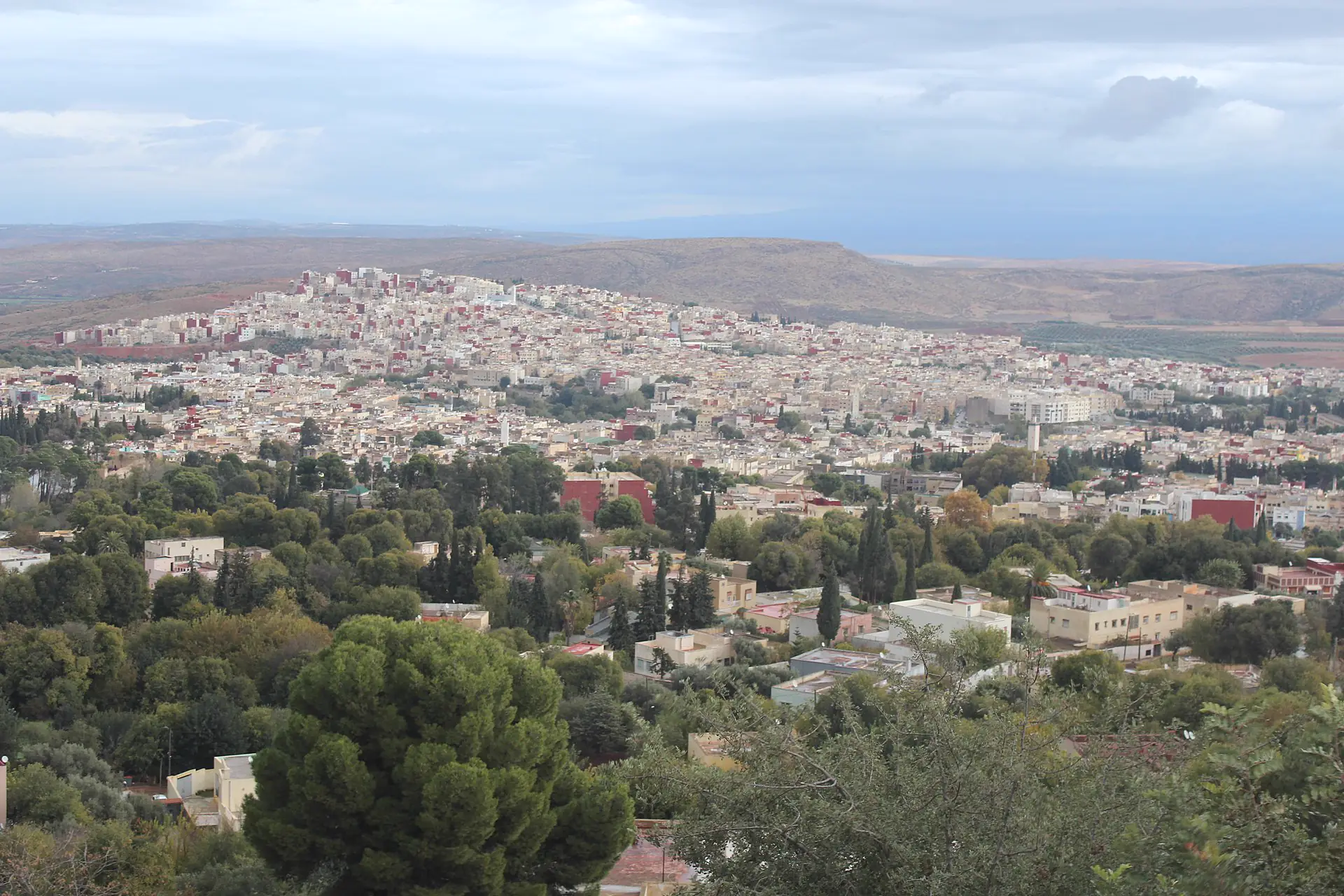 SefrouThe walled town south of Fes where Idris II stayed while Fes was built, with a mellah, a waterfall and a June cherry festival.See Sefrou
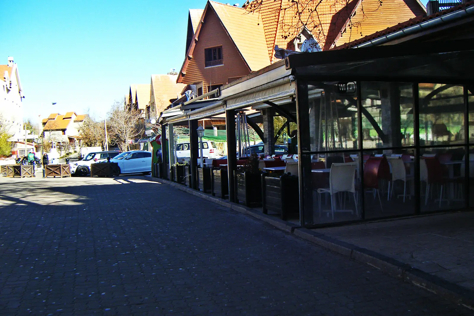 IfraneFes's alpine neighbourSee Ifrane
What people ask us before they add Immouzer Kandar to a trip.